Python利用exifread库获取图片的经纬度,拍摄时间,拍摄地点等信息
文章目录
前言
智能手机或平板如果在拍照时开启定位服务,照片中就会记录拍照位置信息和拍摄时间。这时我们可以先利用库解析图片的exif元数据信息,再利用API把经纬度坐标转换为结构化地址输出。
如果图片含有相应信息,如下程序可以获得拍摄图片的时间,图片所在的经纬度,拍摄图片的地点(可以精确到街道信息)。
程序
import exifread
import re
import json
import requestsdef latitude_and_longitude_convert_to_decimal_system(*arg):return float(arg[0]) + ((float(arg[1]) + (float(arg[2].split('/')[0]) / float(arg[2].split('/')[-1]) / 60)) / 60)def find_GPS_image(pic_path):GPS = {}date = ''with open(pic_path, 'rb') as f:tags = exifread.process_file(f)for tag, value in tags.items():if re.match('GPS GPSLatitudeRef', tag):GPS['GPSLatitudeRef'] = str(value)elif re.match('GPS GPSLongitudeRef', tag):GPS['GPSLongitudeRef'] = str(value)elif re.match('GPS GPSAltitudeRef', tag):GPS['GPSAltitudeRef'] = str(value)elif re.match('GPS GPSLatitude', tag):try:match_result = re.match('\[(\w*),(\w*),(\w.*)/(\w.*)\]', str(value)).groups()GPS['GPSLatitude'] = int(match_result[0]), int(match_result[1]), int(match_result[2])except:deg, min, sec = [x.replace(' ', '') for x in str(value)[1:-1].split(',')]GPS['GPSLatitude'] = latitude_and_longitude_convert_to_decimal_system(deg, min, sec)elif re.match('GPS GPSLongitude', tag):try:match_result = re.match('\[(\w*),(\w*),(\w.*)/(\w.*)\]', str(value)).groups()GPS['GPSLongitude'] = int(match_result[0]), int(match_result[1]), int(match_result[2])except:deg, min, sec = [x.replace(' ', '') for x in str(value)[1:-1].split(',')]GPS['GPSLongitude'] = latitude_and_longitude_convert_to_decimal_system(deg, min, sec)elif re.match('GPS GPSAltitude', tag):GPS['GPSAltitude'] = str(value)elif re.match('.*Date.*', tag):date = str(value)return {'GPS_information': GPS, 'date_information': date}def find_address_from_GPS(GPS):#使用Geocoding API把经纬度坐标转换为结构化地址。secret_key = 'zbLsuDDL4CS2U0M4KezOZZbGUY9iWtVf'if not GPS['GPS_information']:return '该照片无GPS信息'lat, lng = GPS['GPS_information']['GPSLatitude'], GPS['GPS_information']['GPSLongitude']baidu_map_api = "http://api.map.baidu.com/geocoder/v2/?ak={0}&callback=renderReverse&location={1},{2}s&output=json&pois=0".format(secret_key, lat, lng)response = requests.get(baidu_map_api)content = response.text.replace("renderReverse&&renderReverse(", "")[:-1]baidu_map_address = json.loads(content)formatted_address = baidu_map_address["result"]["formatted_address"]province = baidu_map_address["result"]["addressComponent"]["province"]city = baidu_map_address["result"]["addressComponent"]["city"]district = baidu_map_address["result"]["addressComponent"]["district"]return formatted_address, province, city, districtif __name__ == '__main__':file_name = "003.jpg"GPS_info = find_GPS_image(pic_path=file_name)address = find_address_from_GPS(GPS=GPS_info)print("Time taken: ")print(GPS_info['date_information'] + "\n")print("Longitude and Latitude :")print(GPS_info['GPS_information']['GPSLongitude'], GPS_info['GPS_information']['GPSLongitudeRef'])print(GPS_info['GPS_information']['GPSLatitude'], GPS_info['GPS_information']['GPSLatitudeRef'] + "\n")print("Address: ")print(address)
结果 图A
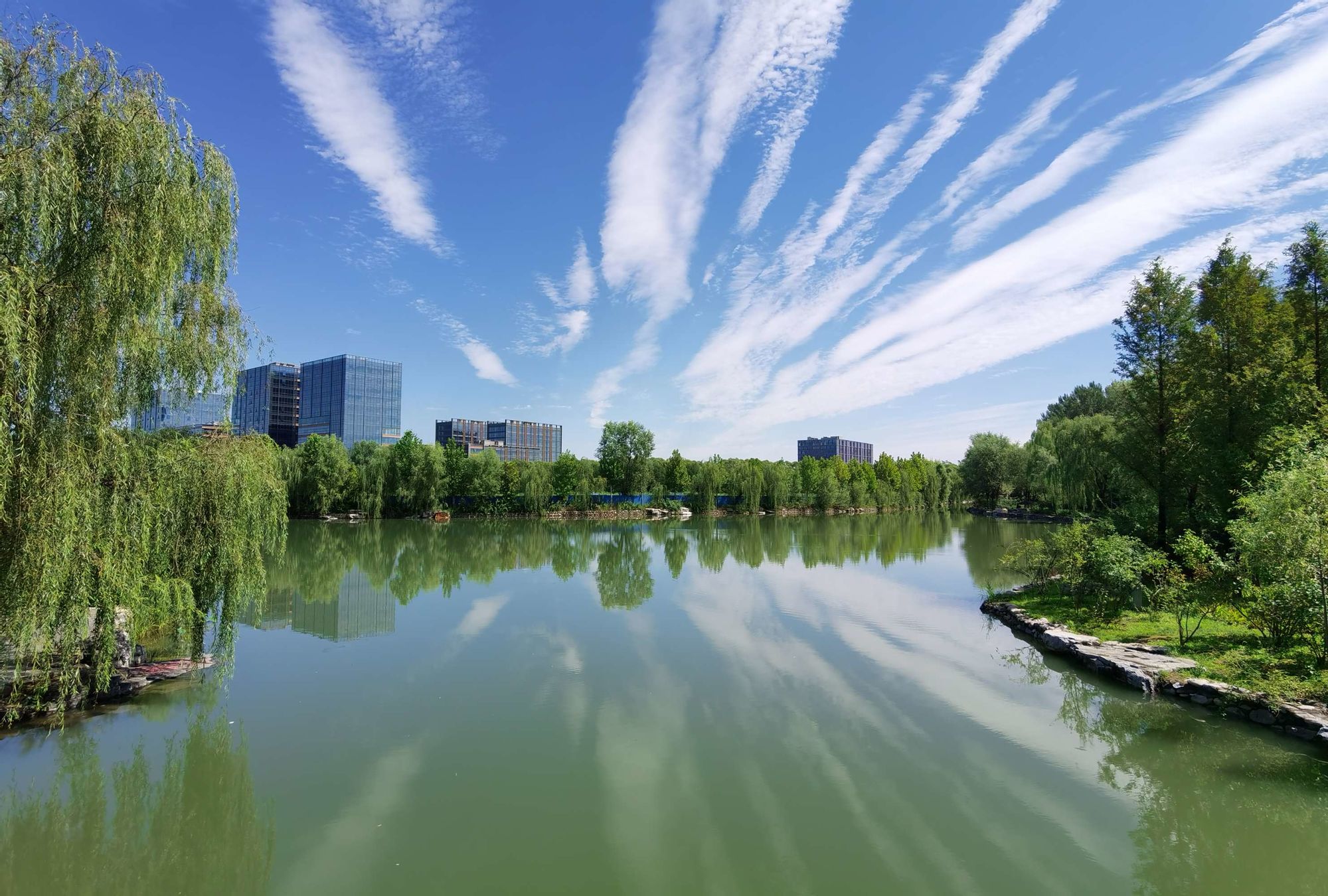
图A获取的图片信息为:
Time taken : 2018:11:03 12:28:31
and :
116.327 E
39. N
: (‘北京市海淀区海淀南路1号’, ‘北京市’, ‘北京市’, ‘海淀区’)
图B
图B获取的图片信息为:
Time taken : 2002:12:08 12:00:00
and :
117.333 E
36. N
: (‘山东省泰安市岱岳区’, ‘山东省’, ‘泰安市’, ‘岱岳区’)
以上代码和数据可以去我的网站下载。后续会继续整理总结有趣小项目。